
The story behind Lokimaps
A map app sixteen years in the making.
Lokimaps began with a missing tool, a photographed paper map and a belief that the best outdoor technology should help you see more of the world, not more of the app.
The journey
From paper maps to Lokimaps
One idea, still moving forward.
- 2010
A map in a photograph
ShingleNav turned a photo of a paper map into something you could carry and navigate with on an iPhone.
- Official maps
Maastokartta – Suomi
When MML opened its digital map data, Finland’s first iPhone app built around the official topographic maps was born.
- Across the Nordics
Three country apps
Topo maps – Finland, Sweden and Norway grew as separate apps, each with official maps for its own country.
- 2026
One home: Lokimaps
The Finnish app became Lokimaps, bringing the three Nordic maps together. Spain soon followed as the first country beyond the Nordics.
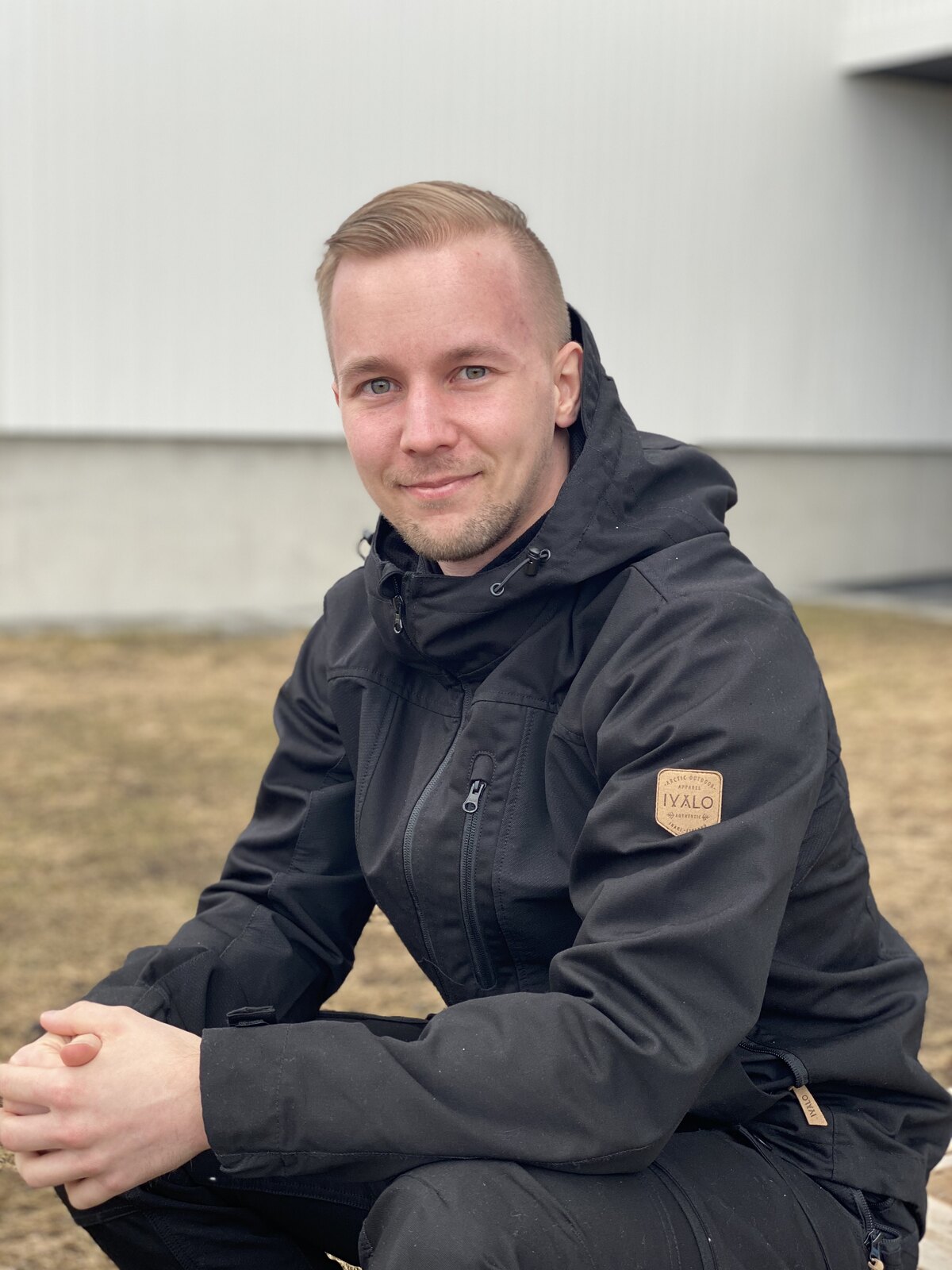
In Mikko’s words
It started with a map I could not find.
In 2010, I needed a proper topographic map app for my iPhone. It sounds obvious now, but official digital topographic maps were not generally available then, and the app I wanted simply did not exist. So I made one.
The first version was called ShingleNav. You could photograph a paper map, position it on your phone and navigate using that image. It was a practical answer to a personal problem, but it travelled much farther than I ever expected. People around the world found ShingleNav and used it in places and for purposes I had never imagined while building it.
Then the real maps arrived.
When the National Land Survey of Finland (MML) released its first digital map data for outside developers, a new possibility opened. I created Maastokartta – Suomi, Finland’s first iPhone topographic map app built around the country’s official maps.
For many years it was Finland’s most popular topographic map app. People trusted it on trails, at cabins, in forests and wherever a clear view of the terrain mattered. I kept the app alive throughout those years, although for a long stretch I could not give it the pace of development I knew it deserved.
One home for official maps.
For years, I managed three separate apps: Topo maps – Finland, Topo maps – Sweden and Topo maps – Norway. Each one carried the official topographic maps of its own country.
In 2026, I began bringing that experience together. Topo maps – Finland was rebranded as Lokimaps and expanded so Finland, Sweden and Norway could all live in one app.
Spain followed soon after, with the official topographic map from Instituto Geográfico Nacional. It was the first Lokimaps country outside the Nordics, and it set a clear direction for what comes next: use the best local cartography available and keep the map at the center of the app.
Why Lokimaps?
A name rooted in journeys and home.
In Finnish, loki means a log, a record of a journey and what happened along the way. That felt naturally at home in an outdoor map app.
The name is also a tribute to my much-loved home, Loukkojärvi, which is often simply called Lokis. It connects the places we explore with the place I call home, which felt exactly right for this next chapter.
A new chapter, with the same compass.
In 2026, something changed. With modern AI tools helping me turn ideas into working improvements faster, I can finally maintain and develop Lokimaps the way I had dreamed about for years. The tools are new, but the direction still comes from sixteen years of building, listening and using the app outdoors myself.
I love maps, and I want to offer the best topographic map experience possible on iOS. That means polishing the details, improving what is already there and carefully adding new capabilities without losing the simplicity that made the app useful in the first place.
A personal promise
Built with you, not just for you.
I read every message. Your field experience, ideas and honest feedback help decide what Lokimaps becomes next. Join me in building an app that keeps the map clear, the tools dependable and the outdoors at the center.
mikko@shingle.fi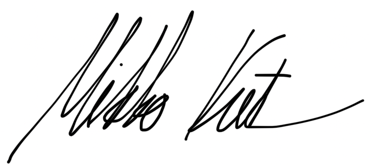
Mikko
Creator of Lokimaps
Map enthusiast and daily user
Help shape the next chapter
Let’s build it together.
Tell me what would make Lokimaps better for your time outdoors. And if the app has earned a place on your phone, an App Store review is one of the most helpful ways to spread the word.