
Lokimaps for iPhone and iPad
Lokimaps documentation
Find quick guides for maps, route planning, offline use, navigation, and more. Choose a topic below to get started.
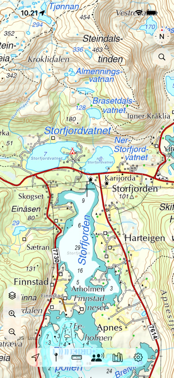
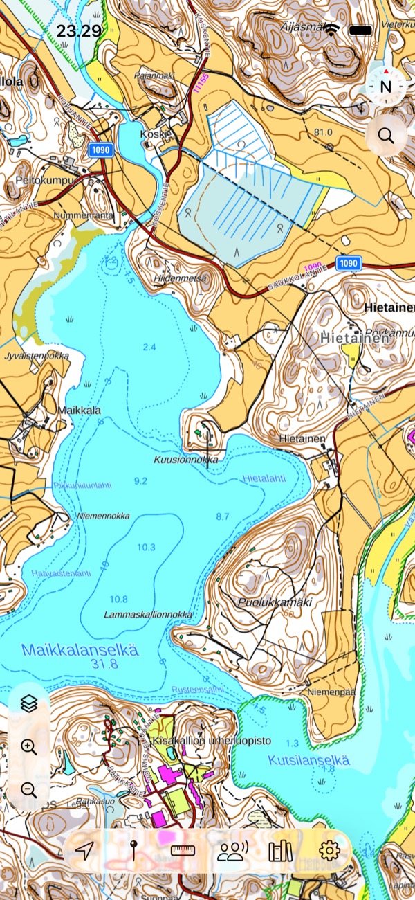
Featured guides
Start with what you want to do
Getting started with LokimapsSet up Lokimaps on iPhone or iPad, choose your included main map, enable location access, and learn the essential map controls.
Maps and layersLearn how base maps and overlay layers work in Lokimaps, switch maps, combine compatible country maps, and choose the right built-in or custom source.
Download maps for offline useDownload supported Lokimaps map areas to your iPhone or iPad, manage stored map data, and prepare for trips without mobile coverage.
Plan a routePlan and review a route before you navigate using Direct or PRO walking, cycling, and car routing. Then start navigation or save the route under Bookmarks.
Add custom maps and layersAdd public WMS and WMTS maps or WMS, WMTS, and WFS overlay layers to Lokimaps using a GetCapabilities or service URL.
Find maps and layers with AIUse Lokimaps Layer AI to find, validate, preview, and add compatible public WMS, WMTS, and WFS maps and layers.
All topics
Explore Lokimaps
Getting started
Maps & layers
- Maps and layers
- Finnish nautical chart symbols
- Norwegian nautical chart symbols
- Worldwide Topo map symbols
- Built-in maps and layers
- Download maps for offline use
- Add custom maps and layers
- Find maps and layers with AI
- Add and use Oma riista hunting areas
- Finnish topographic map symbols
- Swedish topographic map symbols
- Norwegian topographic map symbols
Plan & navigate
Tracks & bookmarks
Can’t find the answer?